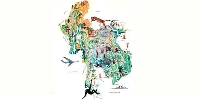
Capital: Rangoon
Location: On the Bay of Bengal, Burma has borders with Bangladesh, India, China, Laos and Thailand
Area: 676,552 sq km
National composition: Mostly Tibeto-Burmese, many hill tribes
Religions: Mainly Buddhism; Islam, Christianity
Official language: Burmese
Currency: Kyat = 100 pyas
Administrative divisions: Myanmar is divided into twenty-one administrative subdivisions
Other major cities: Mandalay, Bassin, Henzada, Pegu, Myingyan, Moulmein
Highest elevation: Khabako Razi in the eastern Himalayas
Chief rivers: Irrawaddy, Salween
Climate: Tropical, monsoon type with the exception of the northern mountain region; extremely high precipitation on the south-western and southern coasts
Burma is a mountainous country. More than one-half is covered by dense forests, containing valuable woods. Agriculture, forestry and fishing employed 67 percent of the work-force in 1980, as compared with 10 percent in industry. Cotton, groundnuts, maize, millet, rice and rubber are cultivated especially in the fertile southern valleys. The country has considerable mineral resources, including lead, oil and natural gas, precious stones, tungsten, uranium and zinc. Manufacturing includes food processing and cotton spinning, but it is mostly small scale.