Thailand : Country Name
System of government: Monarchy
Capital: Bangkok
Location: Thailand lies on the Gulf of Thailand; it has borders with Burma, Laos, Kampuchea and Malaysia
Area: 514,000 sq km
National composition: Thais form the majority; there are sizeable Chinese and Lao minorities, and smaller groups of Burmans, Karen, Shan, Khmer, Vietnamese, Malays, Indians and others
Religions: Buddhism, Islam
Official language: Thai
Currency: Baht = 100 satang
Administrative Divisions: provinces
Other major cities: Chiangmai
Highest elevation: Doi Intanon
Chief rivers: Chao Phraya (Mae Nam), Mekong (forms much of the border with Laos)
Climate: Wet tropical; arid in the north-east
Anthem: Phleng Chat Thai
Royal anthem: Phleng Sansoen Phra Barami
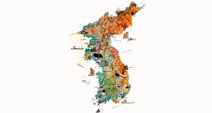
Thailand Map:
Thailand Encyclopedia & Facts For Kids:
Northern and western Thailand are mountainous, while the centre contains fertile alluvial plains. Another arid plain is in the east. Forests cover about 60 percent of Thailand. They contain such valuable trees as teak. The wildlife includes elephants, the traditional symbol of the country, and monkeys.
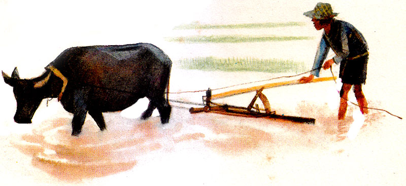
Agriculture dominates the economy. It employed 76 percent of the work-force in 1980, as compared with 9 percent in industry. The chief food crop is rice, but maize and sugar cane are also widely cultivated, as are cotton, jute, rubber trees and tobacco. Pigs and cattle are the most important farms animals. Fishing is a major occupation in coastal areas.
Thailand has considerable mineral resources. It is the world’s fourth largest producer of tin, and it also has deposits of fluoride, iron ore, lead molybdenum, tungsten and zinc. The most important branch of industry is mining, but other industries, such as iron and steel production, food and tobacco processing and textile manufacturing, are being developed. Industry is not as yet a major employer, but it contributes 28 percent of the gross domestic product, as compared with 22 percent from agriculture.
Geography:
At 198,000 square miles, (513,000 square kilometers) Thailand is the world’s forty-ninth-largest country. It is comparable in size to Spain, and somewhat larger than the United States state of California.
Thailand is home to several distinct geographic regions, partly corresponding to the provincial groups. The north of the country is mountainous, with the highest point being Doi Inthanon at 8451 feet (2576 meters). During the winter months in the north, the temperature is cool enough to cultivate lychees and strawberries. Steep river valleys cut into these high mountains and upland areas bordering the central plain.
The northeast consists of the dry Khorat Plateau, bordered on the east by the Mekong river. The soils are poor, and the short monsoon season brings heavy flooding in the river valleys. Sparse grasses cover much of the land.
The center of the country features the predominantly flat Chao Phraya river valley, which runs into the Gulf of Thailand. The “heartland,” Central Thailand, is a natural self-contained basin often termed “the rice bowl of Asia.” The complex irrigation system developed for wet-rice agriculture sustained the development of the Thai state from the thirteenth century, the Sukhothai kingdom, to contemporary Bangkok.
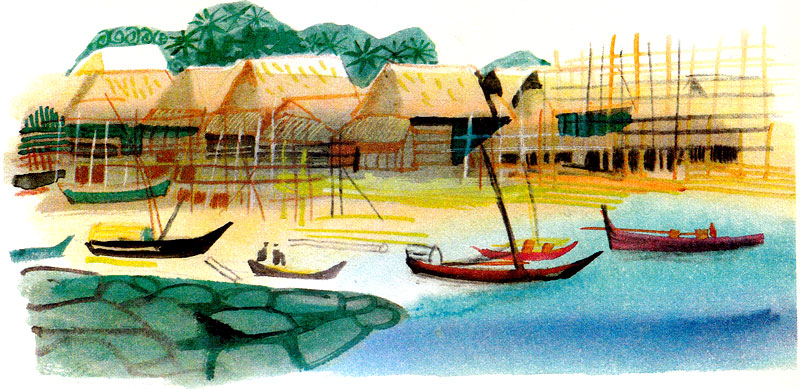
The south consists of the narrow Kra Isthmus that widens into the Malay Peninsula. The south is distinctive in climate, terrain, and resources. Its economy is based on rice cultivation for subsistence and rubber production for industry, coconut plantations, tin mining, and tourism, which is particularly lucrative on Phuket Island.
Related Photos:
External Links:
Business Events Happening In Thailand:
- Jewellery & Gem ASEAN Bangkok: Thailand B2B Jewellery Fair
- Style Bangkok Fair: Thailand Lifestyle & Fashion Trade Show
- The Roads & Traffic Expo Thailand: Road Transportation & Infrastructure
- Bangkok Gems and Jewelry Fair: BGJF – QSNCC Thailand
- LED Expo Thailand: Bangkok Energy Efficiency & Digitalization
- Assembly & Automation Technology Thailand: Bangkok Expo
- TAAPE: Thailand Amusement & Attraction Parks Expo, Bangkok
- Thailand Dive Expo: Destination Expo For Diving Industry