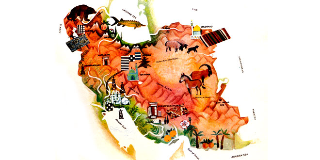
Capital: Tehran
Location: In south-western Asia, Iran is bounded by the Persian Gulf and the Gulf of Oman to the south, Afghanistan and Pakistan to the east, the USSR to the north, and Iraq and Turkey to the west
Area: 1,648,000 sq km
National composition: Persian (Farsi), roughly two-thirds of the population; one-fourth Turki, some Kurds and about 27 other minority groups
Religion: Islam
Official language: Persian (Farsi)
Currency: Rial = 100 dinars
Administrative divisions: 9 provinces
Other major cities: Esfahan, Mashhad, Tabriz, Shiraz
Highest elevation: Damavand in Elburz Mountains
Chief rivers: Karun (the only navigable river)
Largest lake: Urmia (Razaiyeh)
Climate: Subtropical and tropical, arid with higher precipitation on the Caspian Sea coast
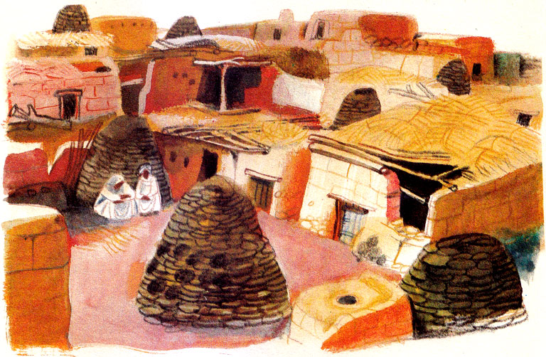
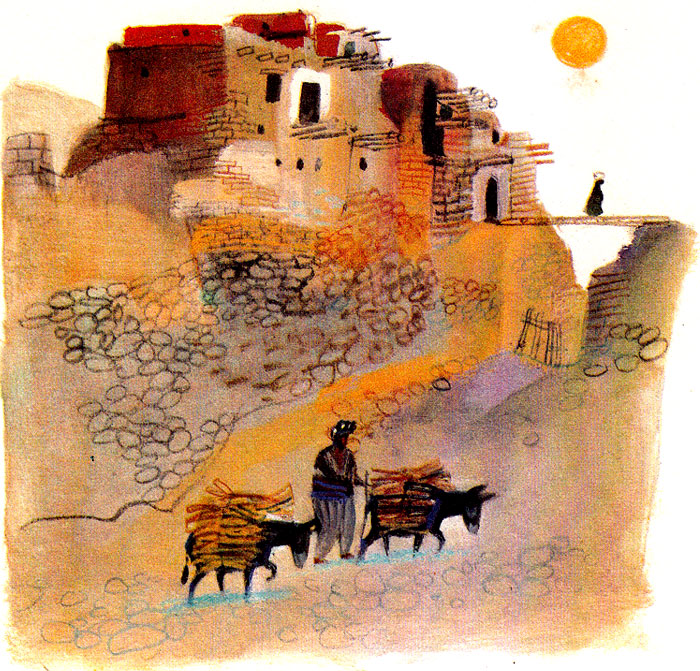
About one-third of Iran consists of mountains, steppes and salt deserts. Agriculture employed 39 percent of the work-force in 1980, as compared with 34 percent in industry. Farmers grow cereals, cotton, dates, rice, sugar beet, tea and tobacco on irrigated land.
But the economy depends greatly on oil and natural gas, although there is also some engineering and light industry. Iran is also famous for such traditional crafts as rug weaving and textile making.