Country Name: Pakistan (Islamic Republic of Pakistan)
System of government: Federal Republic
Capital: Islamabad
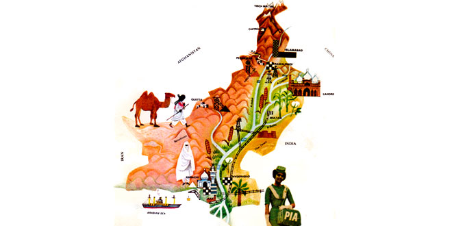
Location: Part of the Indian subcontinent; Pakistan has borders with Afghanistan, China, Iran and India, with the Indian Ocean in the south
Area: 803,943 sq km
National composition: Punjabis (majority), Pathans, Sindhis, Baluchis and others
Religion: Islam
Official languages: Urdu, English
Currency: Pakistani rupee = 100 paisa
Administrative divisions: 4 provinces, the capital territory, and federally administered tribal lands
Other major cities: Karachi, Lahore, Faisalabad, Rawalpindi
Highest elevation: Chogori, 8,611 m high in the Karakoram Range on the Chinese border
Chief rivers: Indus and its tributaries
Climate: Subtropical, dry; monsoons bring high precipitation to higher elevations
Motto: Unity, Discipline, Faith
(Urdu: اتحاد، تنظيم، يقين مُحکم)
Ittehad, Tanzeem, Yaqeen-e-Muhkam
Anthem: Qaumī Tarāna
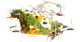
Pakistan Location Map:
Pakistan Encyclopedia & Facts for Kids
The Islamic Republic of Pakistan, or Pakistan, is a country located in South Asia, marking the region where South Asia converges with Central Asia and the Middle East. Its eastern provinces are located in the northwestern corner of the Indian subcontinent, while the western provinces are contiguous with the Iranian plateau. It borders Iran to the west, Afghanistan on the northwest, China to the northeast, India on the east, and has a 650 mile (1046 km) coastline along the Arabian Sea to the south.
Pakistan is the sixth most populous country in the world. It also has the second largest Muslim population in the world. Its territory was a part of the pre-partitioned British India and has a long history of settlement and civilization, including the Indus Valley Civilization.
The name “Pakistan” in the Urdu and Persian languages means, “Land of the Pure.” The name is believed to have been coined by Choudhary Rahmat Ali, who devised the word and first published it in 1933, in the pamphlet, Now or Never. He saw it as an acronym formed from the names of the “homelands” of Muslims in South Asia: With P standing for Punjab, A for the Afghan areas of the region, K and I for Kashmir, S for Sindh, and TAN for Baluchistan, thus forming Pakistan.
Geography:
The northern and western areas of Pakistan are mountainous. Pakistani-administered areas of Kashmir contain some of the highest mountains in the world, including K2 and Nanga Parbat. Northern Pakistan has many areas of preserved, moist temperate forest.
In the southeast is the Cholistan, or Thar Desert, which extends into India. West-central Baluchistan has a high desert plateau, bordered by low mountain ranges. Most areas of Punjab, and parts of Sindh, are fertile plains where agriculture is of great importance.
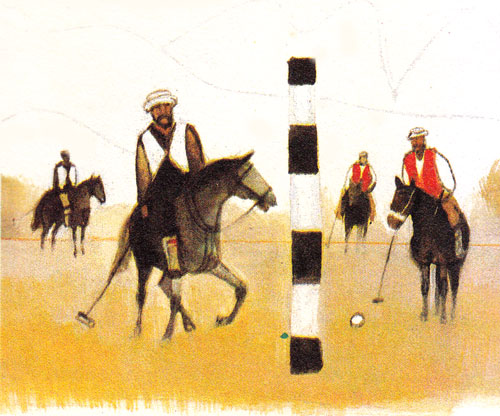
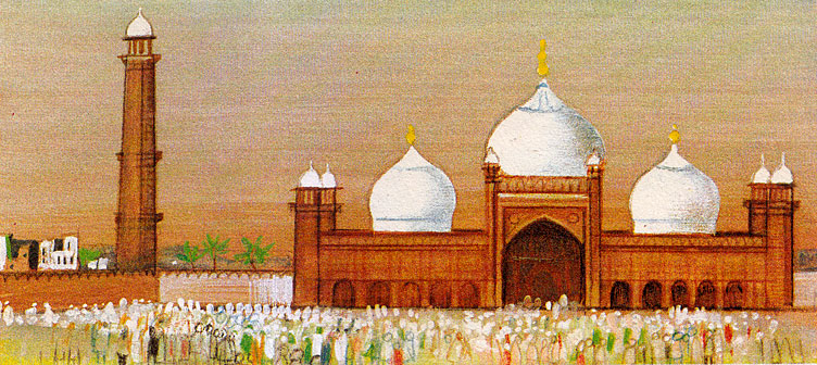
Related Photos:

3 comments
Pingback: Leatherworld Middle East 2019: Dubai - Textile Industry Events
Pingback: बुरुंगा नरसंहार: कट्टर इस्लामवादी पाकिस्तानी सैनिकों द्वारा - Kids Portal For Parents
Pingback: World Environment Day Information For Students - Kids Portal For Parents