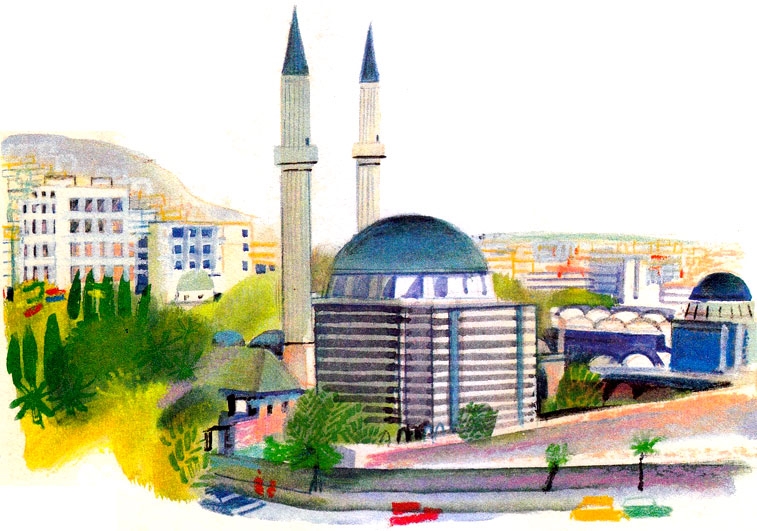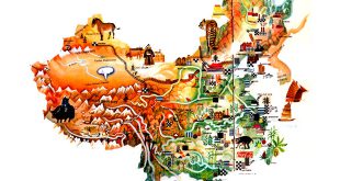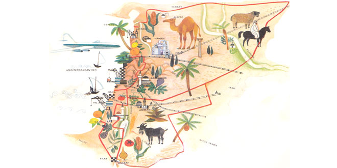
Capital: Damascus (Esh Sham, Damas)
Location: In south-western Asia on the Mediterranean Sea coast; the region is traditionally known as the Levant. Syria has borders with Turkey, Lebanon, Israel, Jordan and Iraq.
Area: 185,190 sq km.
National Composition: Arabs (88%), Kurds (6%), Armenians and other minorities
Religion: Islam
Official Language: Arabic
Currency: Syrian pound = 100 piasters
Administrative Divisions: 14 administrative districts, including the capital
Other Major Cities: Aleppo (Halab), Homs (Hims), Hamah
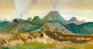
Highest Elevation: Mount Hermon (2,814m), Jabal ash Shyakh
Chief Rivers: Euphrates, Khabour
Climate: Mediterranean in the west; drier and hotter in the interior
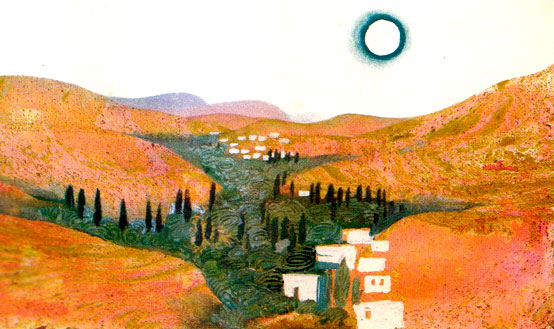
Syria is a mountainous country with some fertile plains along the coast and in the valley of the Euphrates, where cereals, citrus fruits, cotton, olives and tobacco are grown. Farmers also rear cattle, sheep and goats. The Lebanon and Anti-Lebanon ranges rise in the west, while desert occupies much of southern Syria. The flora and fauna are generally of the steppe and semi-desert types.
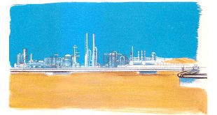
The country’s main mineral assets are oil, natural gas, phosphates, asphalt and rock salt. Petrochemicals, processed foods and textiles are among the leading industries. Local arts and crafts flourish throughout the country.
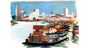
Syria has three main railway lines and the largest towns are connected by surfaced roads and by air. There are several seaports with oil pipeline terminals.