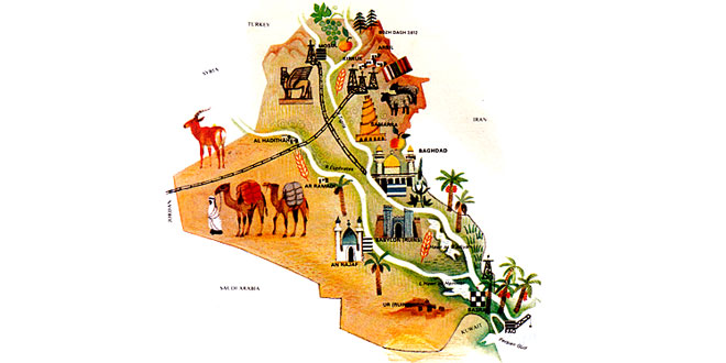
Capital: Baghdad
Location: Iraq has a short coastline on the Persian Gulf in the south-east. It is bounded by Turkey to the north, Iran to the north-east, Kuwait to the south-east, Saudi Arabia to the south, and Jordan and Syria to the west
Area: 434,924 sq km
National composition: Arabs, Kurds, Turkmens, Armenians, Iranians, Turks
Religion: Islam
Official language: Arabic
Currency: Iraqi dinar = 1,000 fils
Administrative divisions: 18 governorates
Other major cities: Basra, Mosul, Kirkuk
Highest elevation: Keli Haji Ibrahim (3,609 m)
Chief rivers: Euphrates, Tigris
Climate: Hot and arid; severe continental conditions in the interior
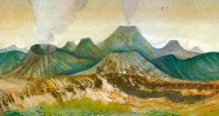
The northern part of Iraq is largely mountainous and desert covers much of the south and west. The most fertile area is Mesopotamia, an undulating strip of country between the two largest navigable rivers, the Euphrates and Tigris. The two rivers are controlled and extensively used for irrigation.
In 1980 agriculture employed 42 percent of the work-force, as compared with 26 percent in industry. Iraq produces such crops as cereals, cotton, dates (of which Iraq is the world’s second largest producer), fruit, rice and tobacco. The chief industry is the extraction and processing of oil. Traditional industries include the manufacture of textiles and cooking oil. Tourism is also important, the ancient monuments of the magnificent early civilizations being a major attraction.